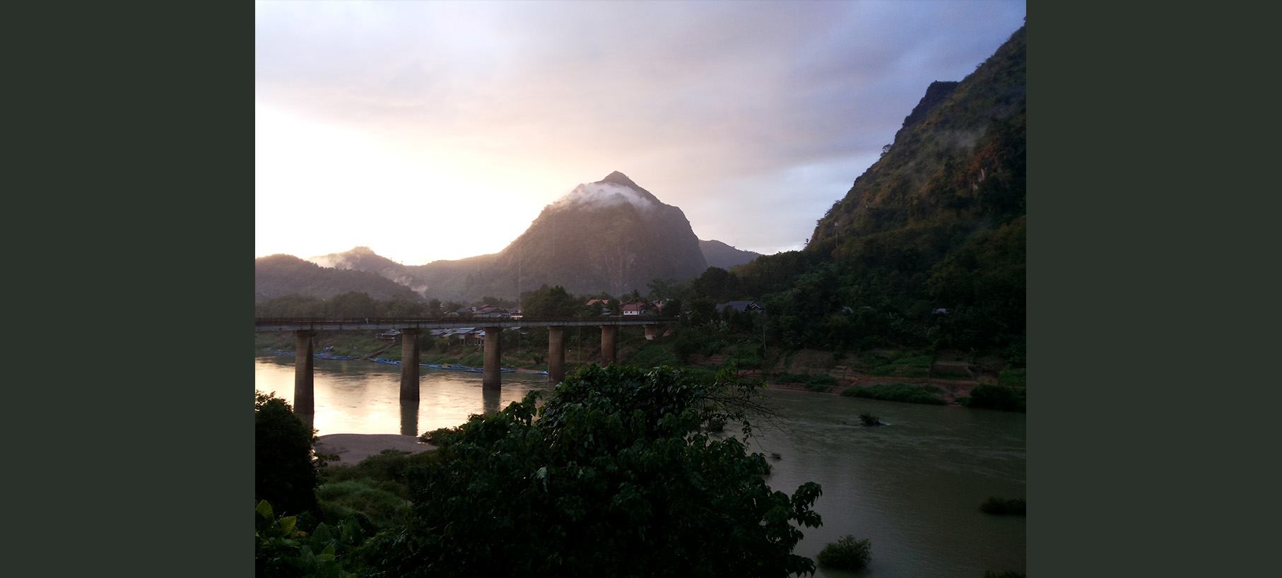
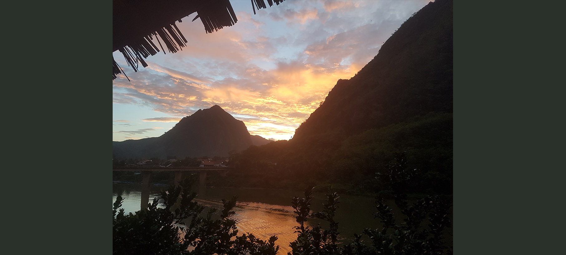
"The most scenic spot in Northern Laos"
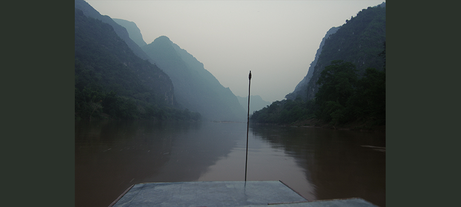
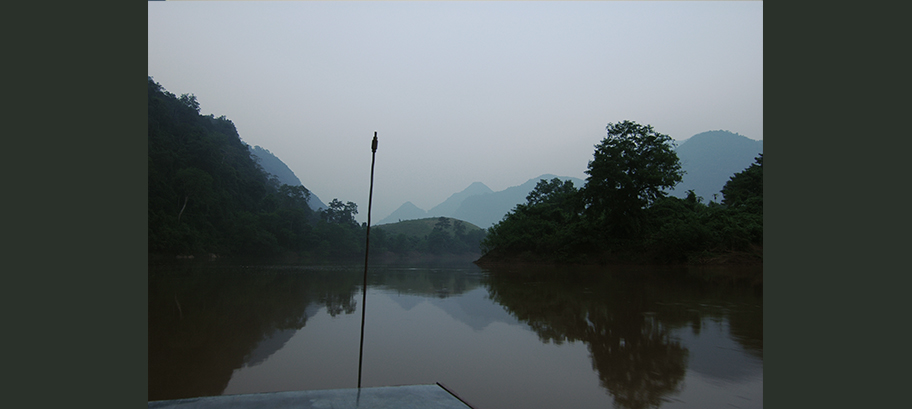
Nong Khiaw is a small rustic town nestled by the Ou River between steep karst mountains where Route 1 winds eastwards to Sam Neua and
...
Vietnam, roads less traveled
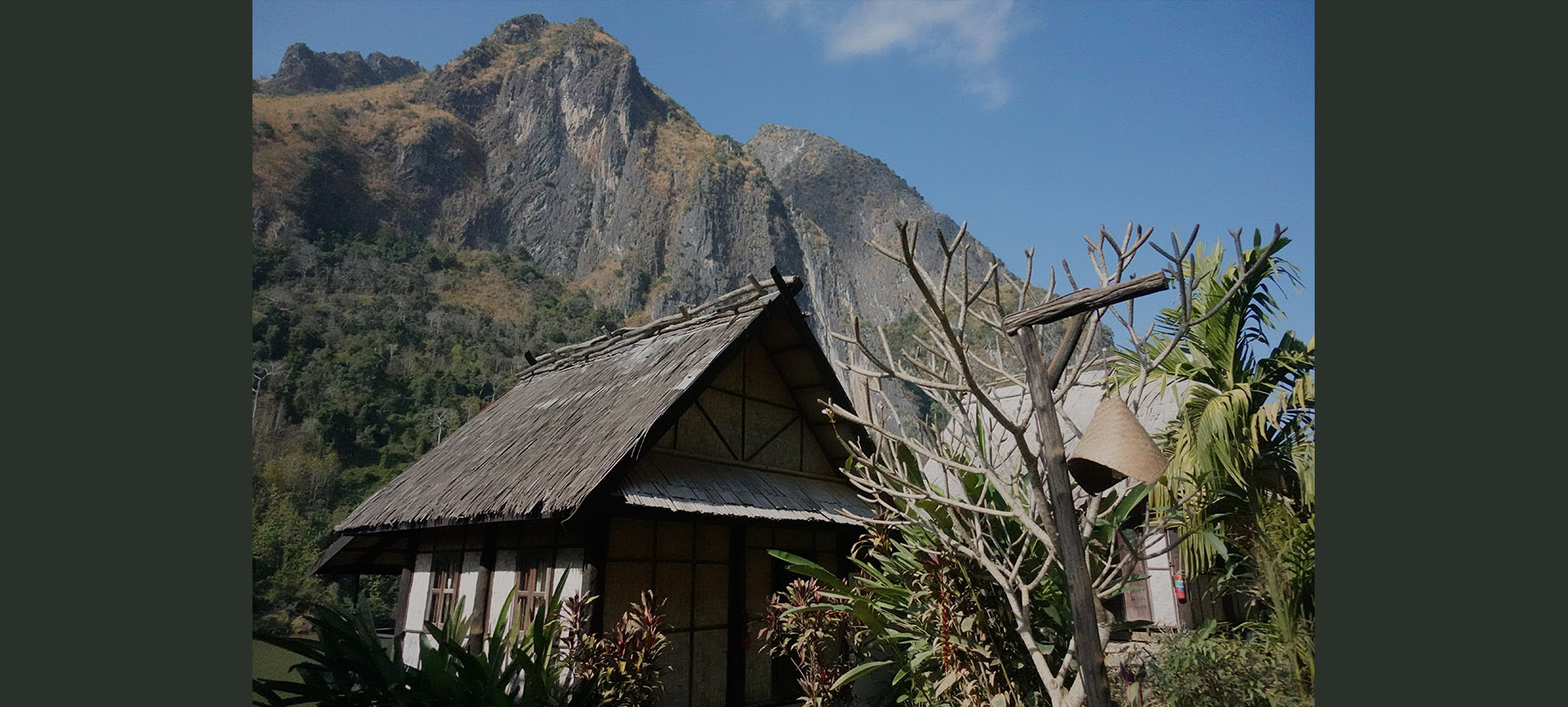
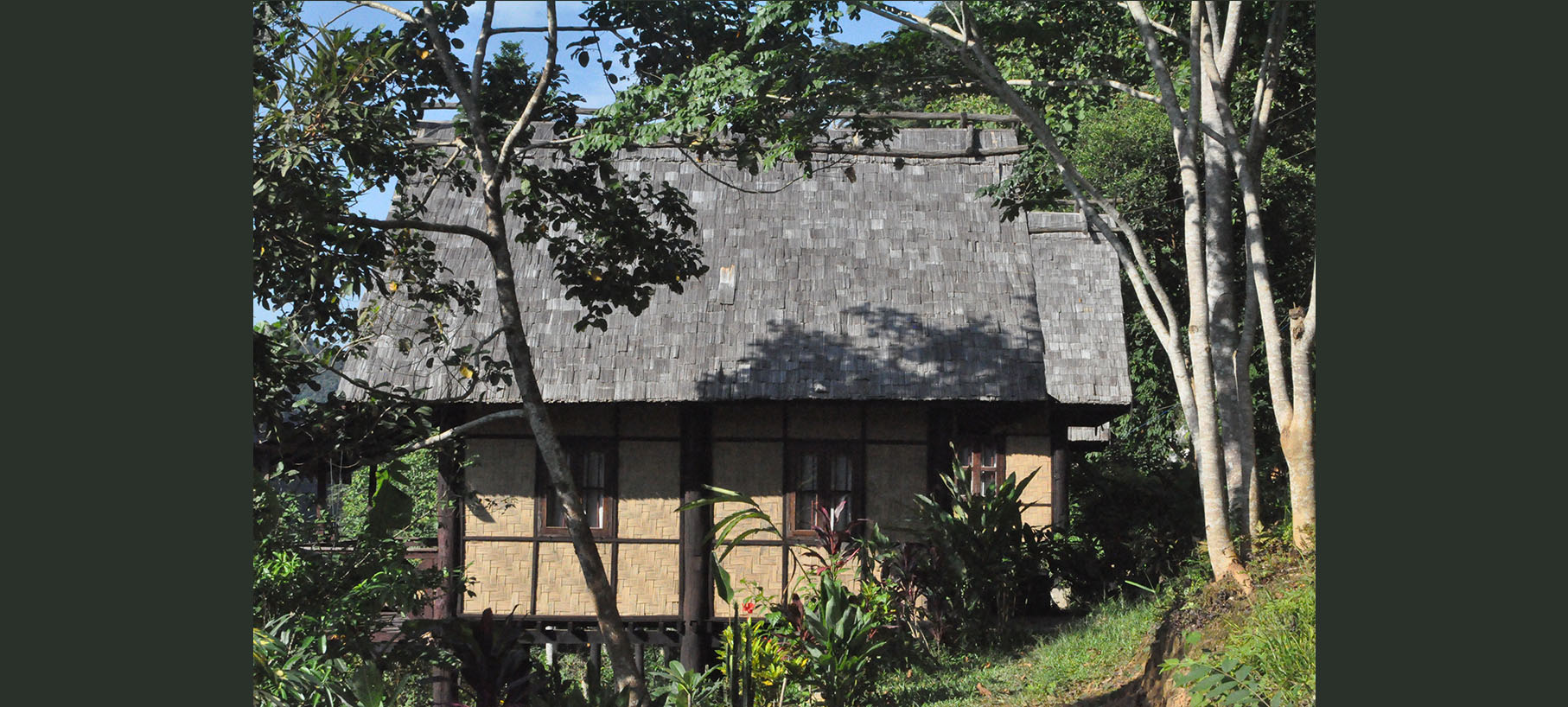
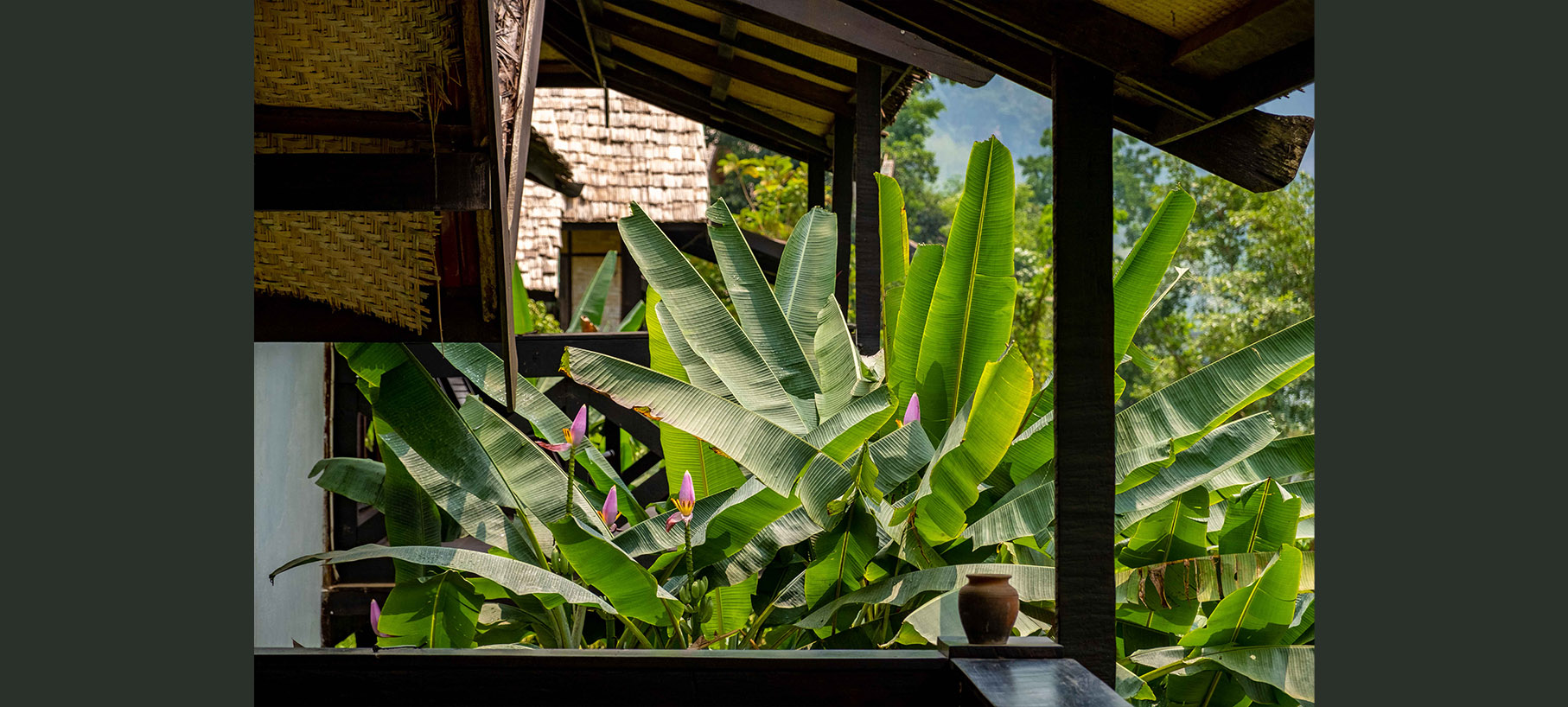
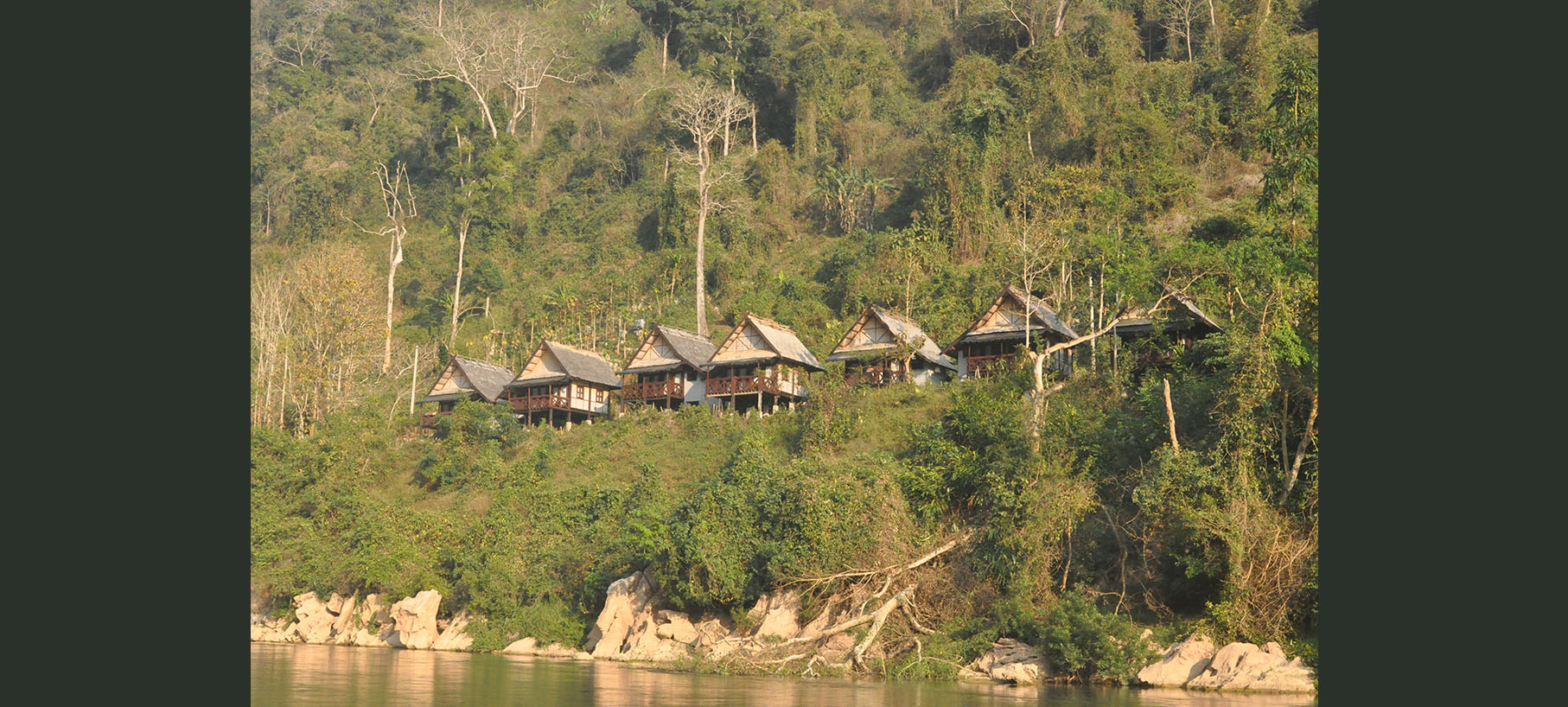
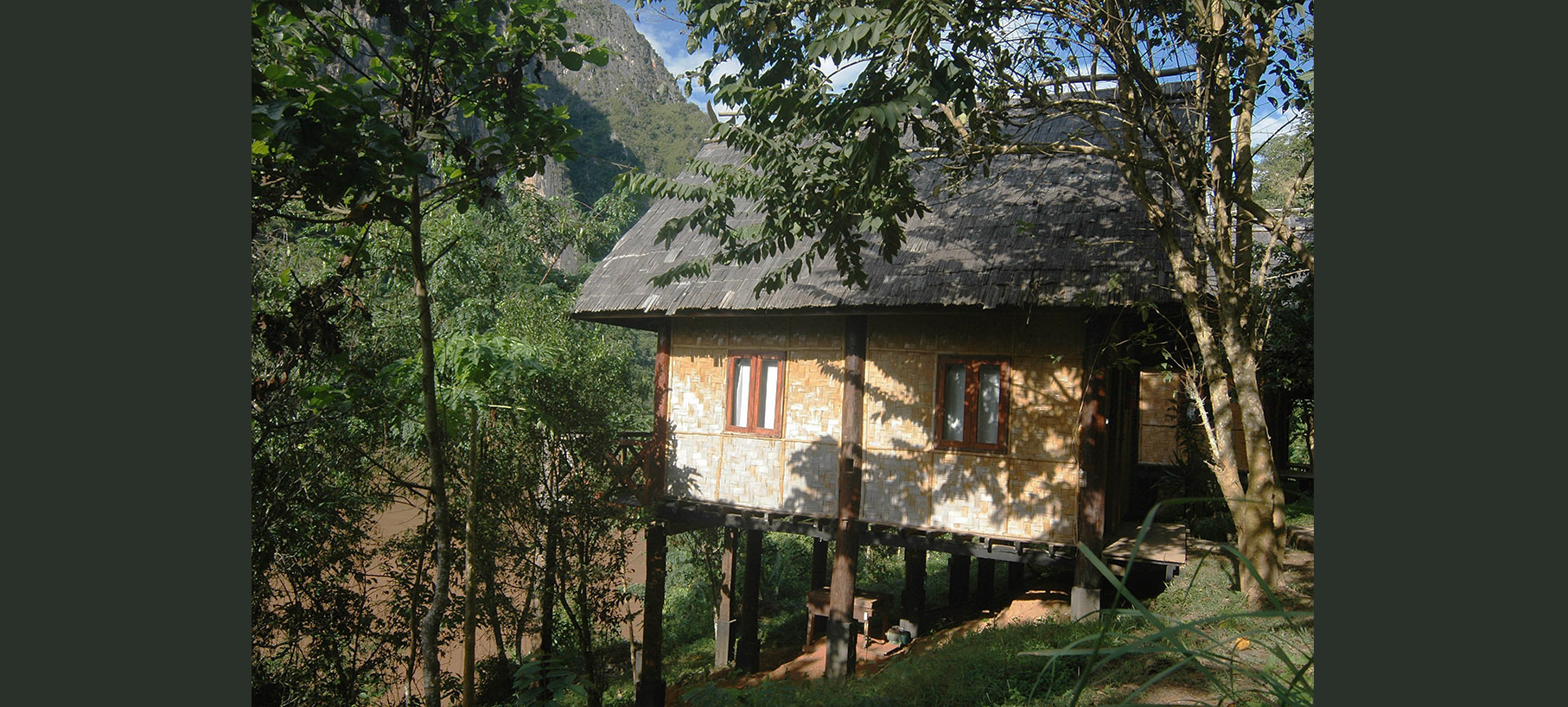
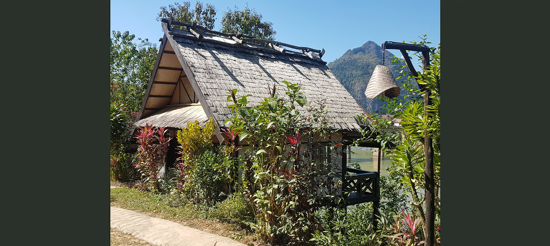
Nong Kiau Riverside is right in the middle of this little paradise. Fifteen wooden bungalows and a restaurant dots the riverside just on the outskirts of town. Mornings are misty and the night sky is filled with stars
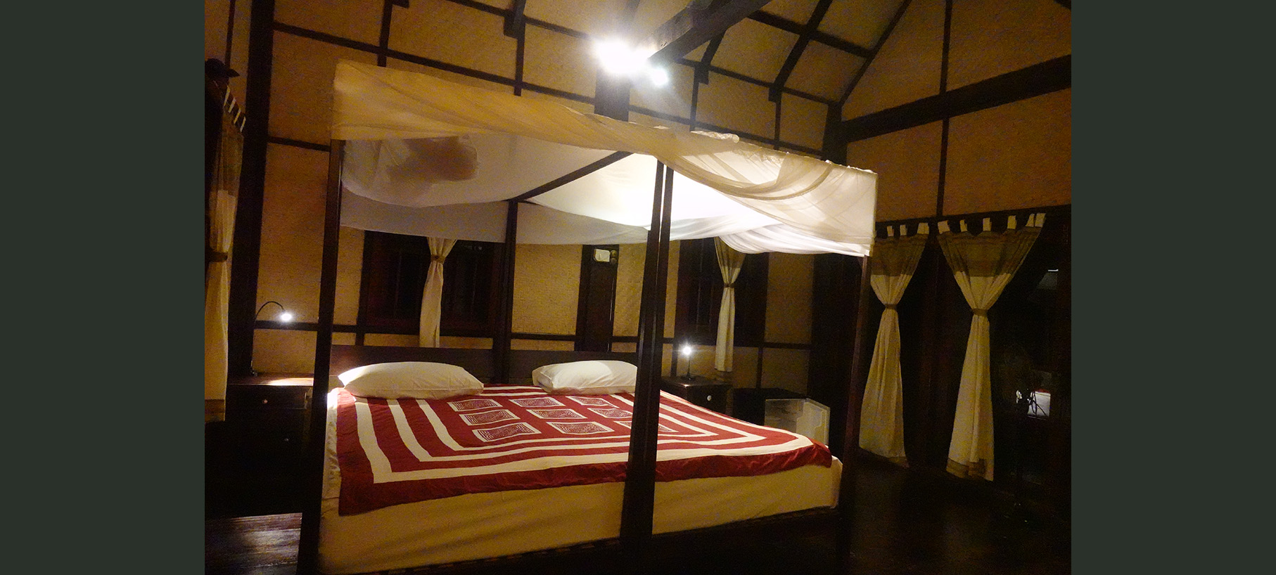
Our location in the mountainous north means cooler nights and cooler winters than in most of South East Asia. All rooms are fitted with both aircon and heaters
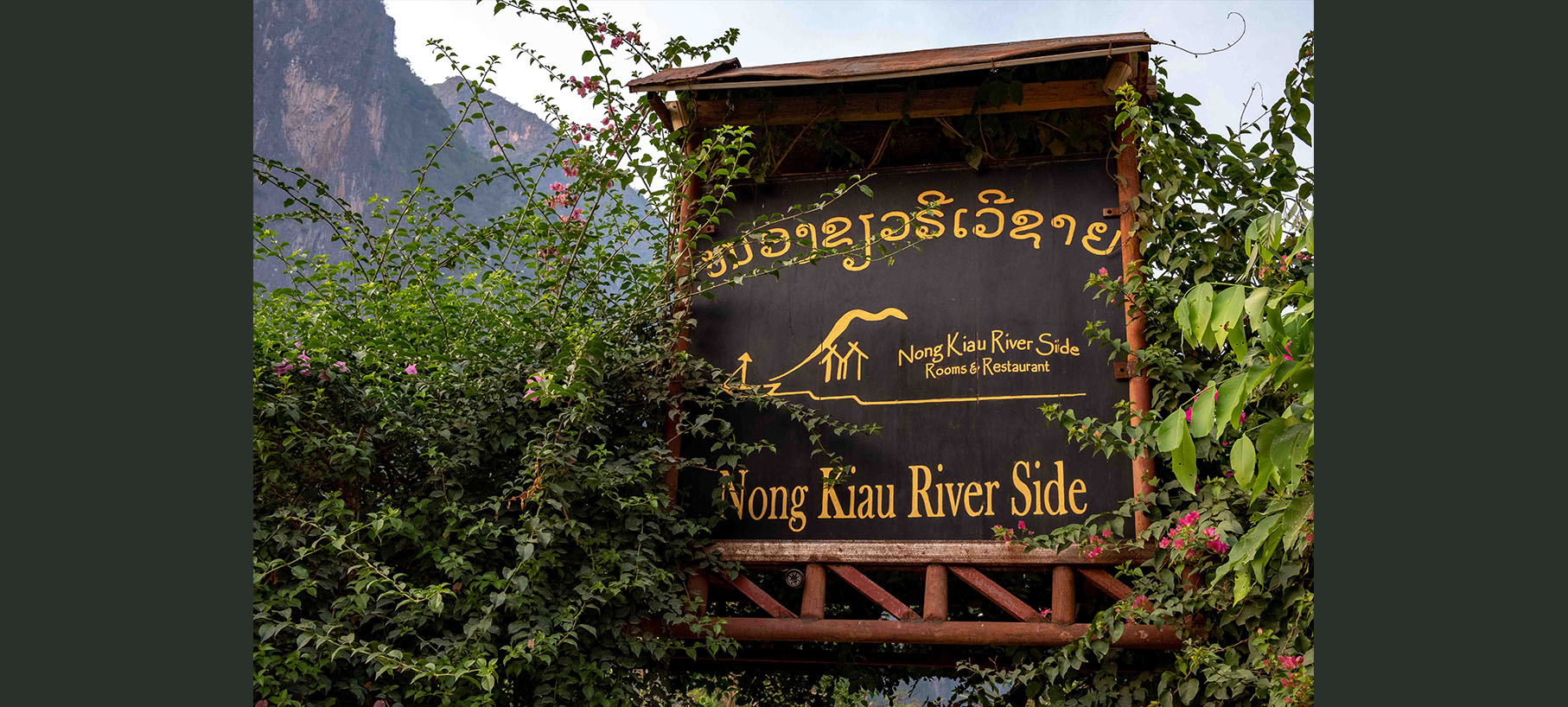
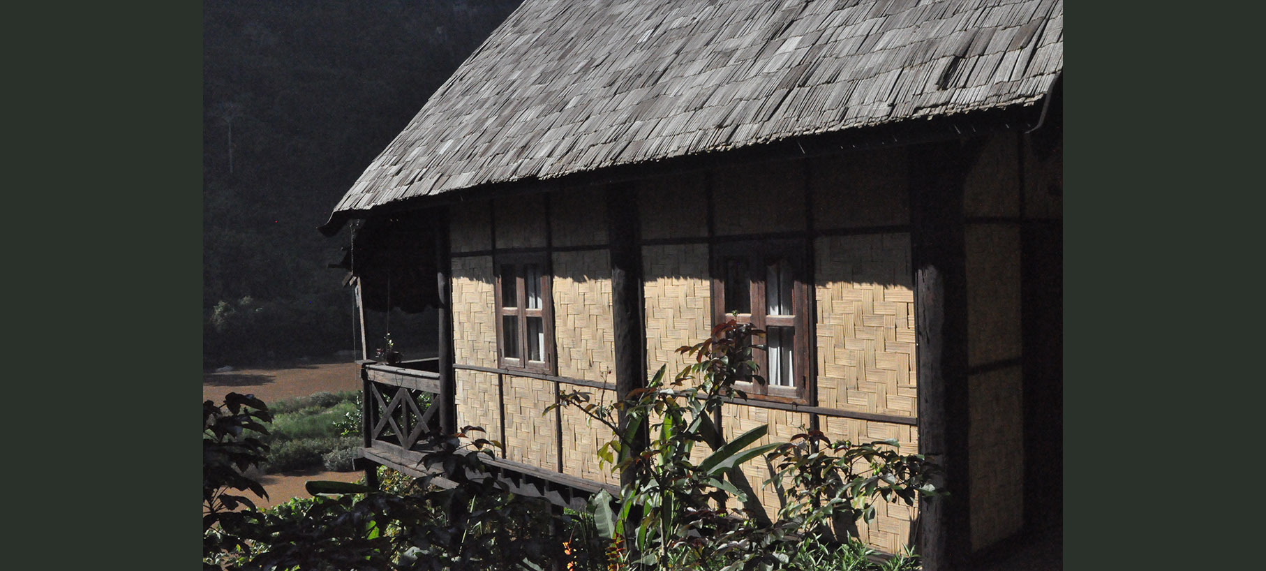
Nong Kiau Riverside in Nong Khiaw with 15 bungalows along the Nam Ou River
During these covid times online booking is disabled. Please contact us by mail, FB Messenger @nongkiauriverside or WhatsApp +856 20 22 40 66 77
Our Bungalows
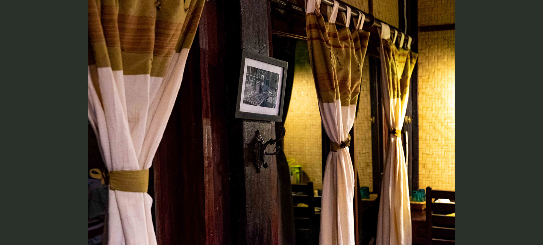
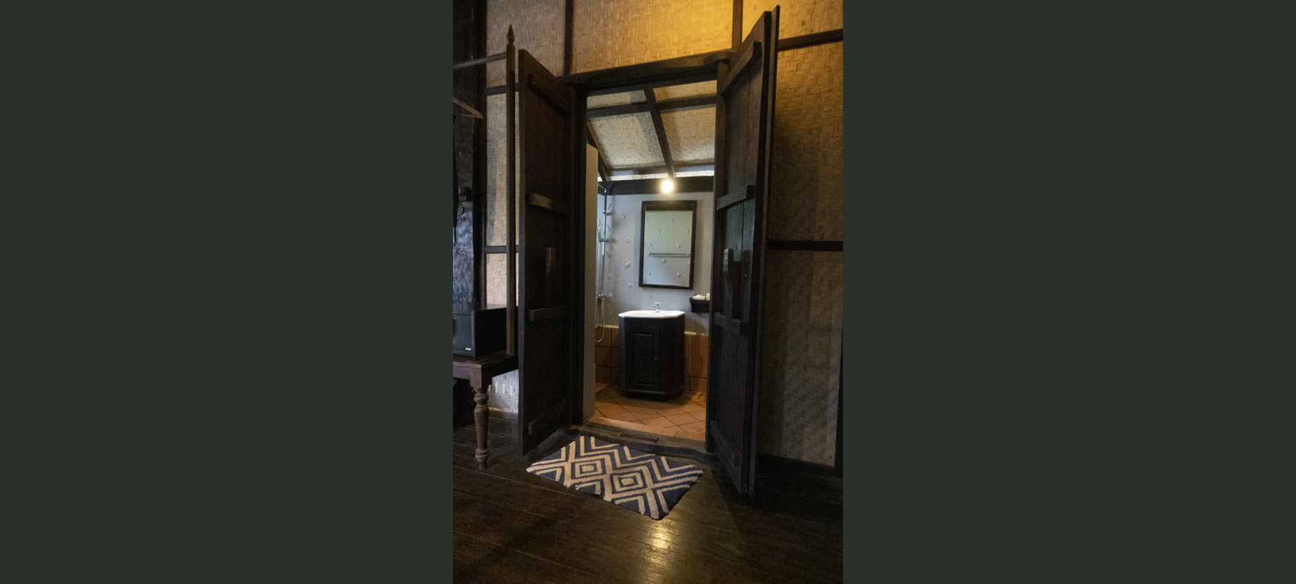
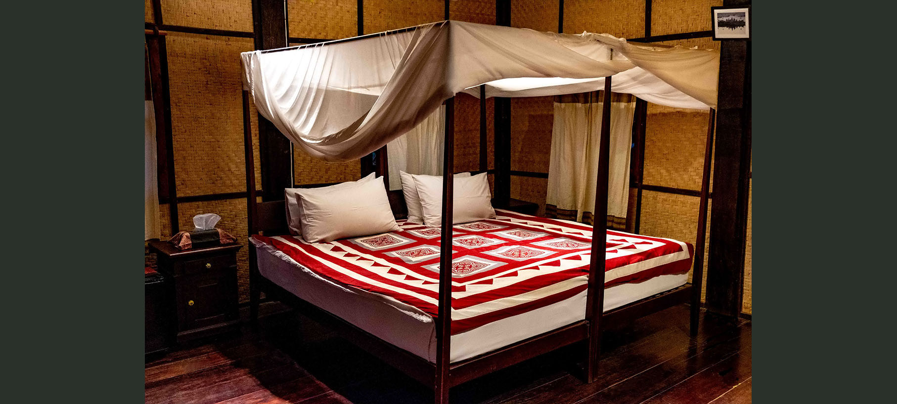
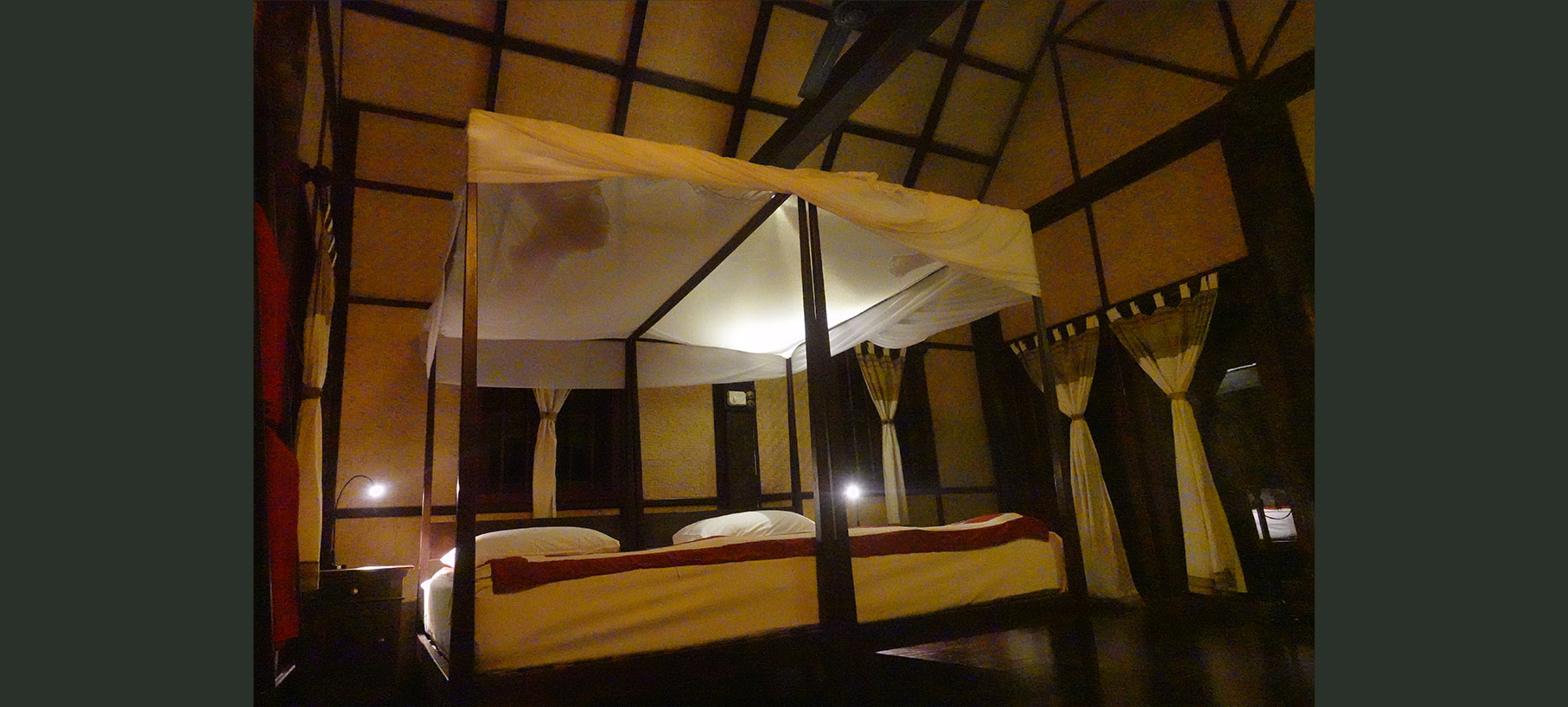
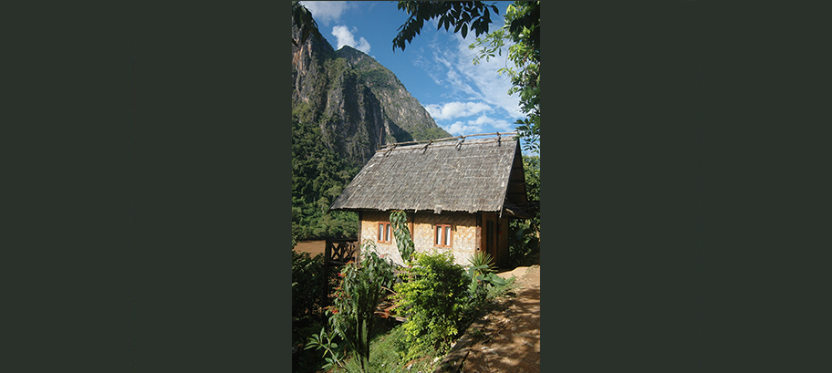
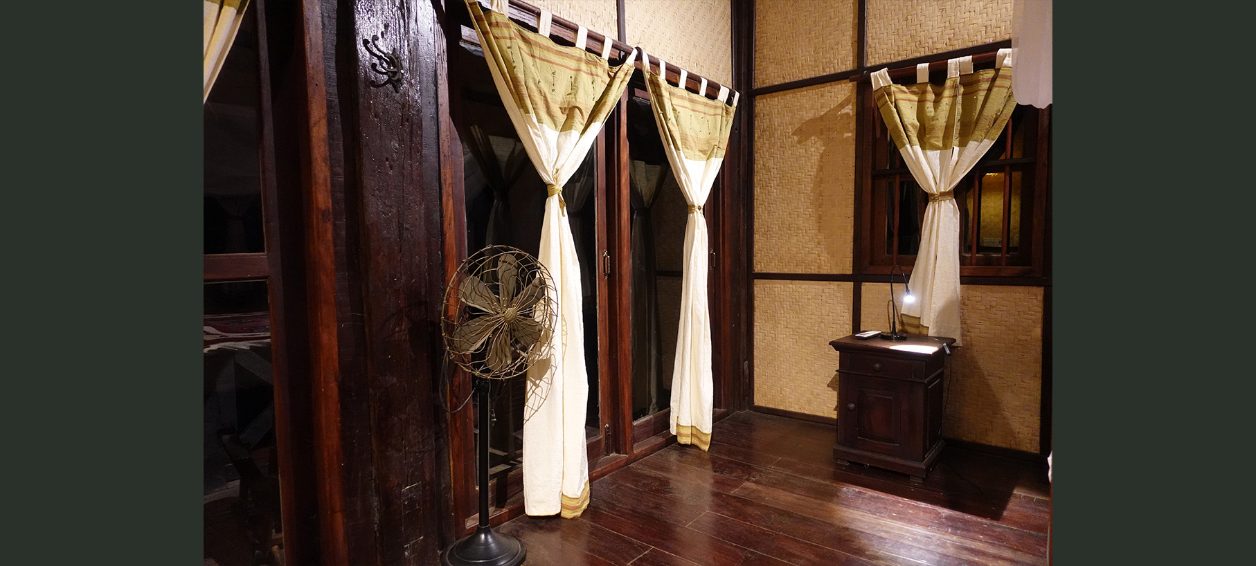
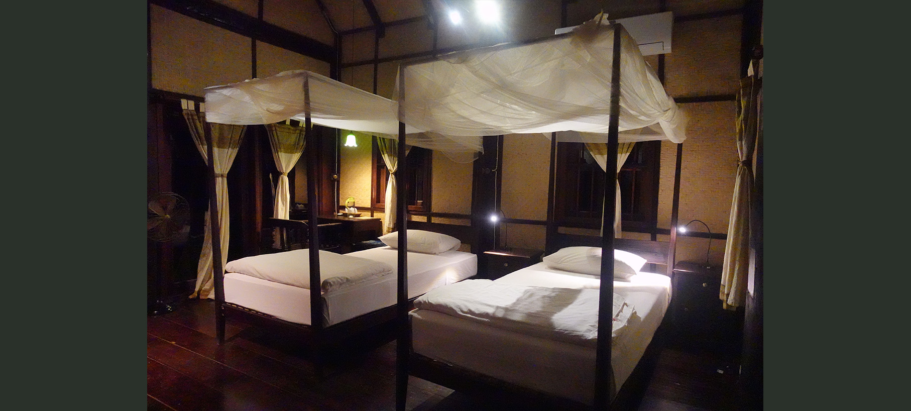
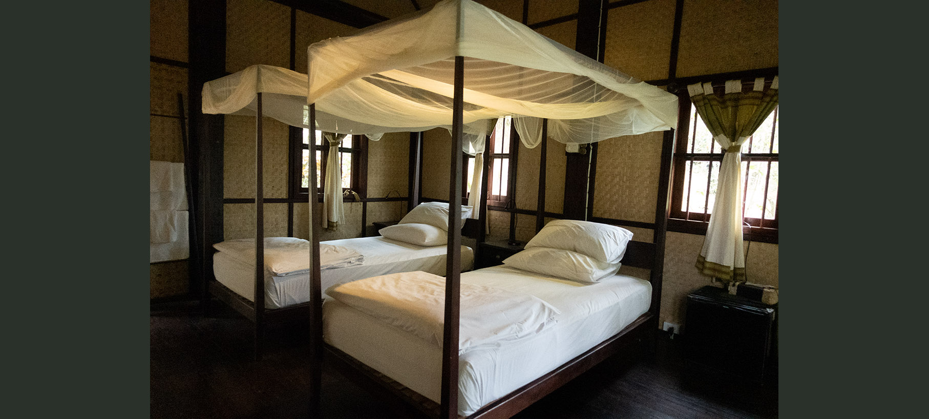
"Each of our bungalows feature a spacious 40 square meters room including a large private balcony overlooking the river. All rooms are airconditioned for the summer and heated for the winter and feature very comfortable four poster capony beds with high flung mosquitonets.
...
Fridge, coffee table, water boiler and safety boxes are provided in all rooms
The rooms are to a large extend built with old recycled wood collected from traditional Lao houses taken down in the area. Please notice the holes for the original beams in all poles
The rooms are to a large extend built with old recycled wood collected from traditional Lao houses taken down in the area. Please notice the holes for the original beams in all poles
Book Directly With Us
"Thank you for visiting our website. Look no further"
Please contact us directly for the best and latest prices and promotions. Contact us by mail, Facebook Messenger @nongkiauriverside or WhatsApp +856 20 22 40 66 77
Please contact us directly for the best and latest prices and promotions. Contact us by mail, Facebook Messenger @nongkiauriverside or WhatsApp +856 20 22 40 66 77
Getting Here
Private transfer or bus tickets can be booked at many hotel receptions in Luang Prabang. If you book a ticket, it normally includes a tuk tuk transfer to... the bus station, where the public bus is waiting for you. Buses leave several times per day starting around 8.30 AM. Alternatively, you can also go directly to the Northern Bus Station yourself
If you arrive at the airport, we can arrange a private transfer. Please contact us for details.
From Udom Xai there's a direct bus leaving in the morning. From time to time it's cancelled, so please check locally for availability and time table
Luang Nam Tha does not have a direct bus link to Nong Khiaw. You'll have to change either in Udom Xai, or preferably Pak Mong, 30 km west of Nong Khiaw. Frequent shared tuk tuks connect Pak Mong and Nong Khiaw.
The more intrepid traveler might venture further east towards Xam Neua and Vietnam. These are roads less travelled and offers an opportunity to see rural Laos as it once was - an opportunity that might soon be gone. Public transportation is more far between and more time/better planning is needed. There are guesthouses in Muang Vieng Kham, Muang Hiam and Sam Neua
Old Muang Ngoy
Back in time no roads reached this area and the only mean of transportation was by boat....
At that time, Old Muang Ngoy was the main town of the area while Nong Khiaw was just a little village.
Things have changed, and Muang Ngoy is now the little laid back tranqiul place popular with backpackers, although development is taking off. Certainly worth a visit, either on a daytrip or overnight stay
View Points
Steep karst mountains are all around us, providing one breathtaking viewpoint after the other. Enthusiasts can stay in town for a week or... longer to explore them all.
Most people opt for Phou Pha Deng with a well-trodden path that's easy to navigate even in the dark before sunrise or aftert sunset
Most people opt for Phou Pha Deng with a well-trodden path that's easy to navigate even in the dark before sunrise or aftert sunset
Tad Mok Waterfall
This pleasant little waterfall is nestled in the forest an hours walk through rice fields, hills and farms. The walk starts from Sop Kong Village some 15 kilometres north of ... Nong Kiau Riverside. Sop Kong can be reached by boat, motorbike or mountain bike. Half way a pleasant gentleman by the name Xiengxay is waiting with coffee at his little organic farm
Location: 20.643989285605144, 102.6731575362878
Location: 20.643989285605144, 102.6731575362878